


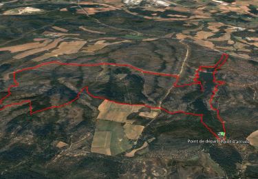
8.4 km | 9.5 km-effort

User GUIDE


FREE GPS app for hiking
 SityTrail
IGN / Geographical institutes
SityTrail World
The world is yours!
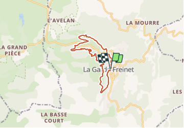
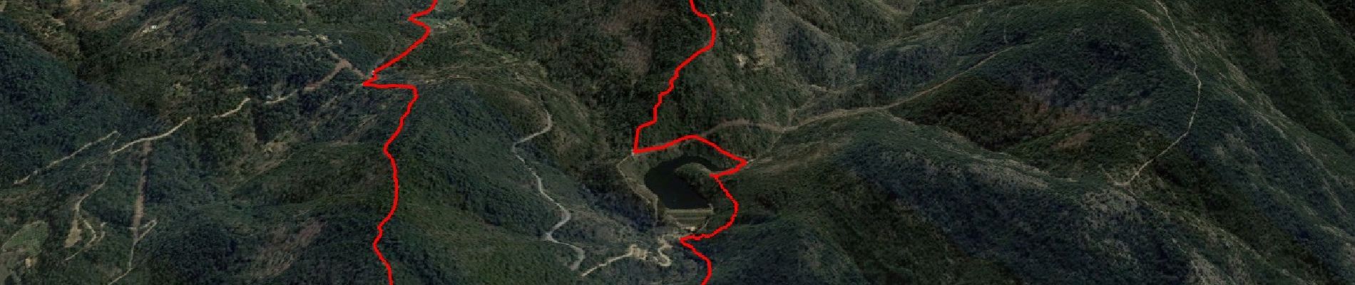
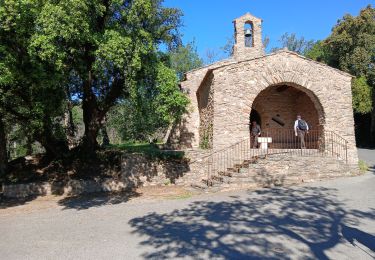
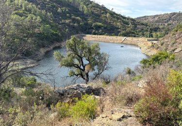
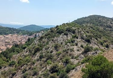
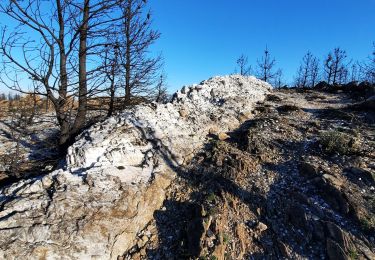
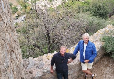
Trail Walking of 12.5 km to be discovered at Provence-Alpes-Côte d'Azur, Var, La Garde-Freinet. This trail is proposed by affinetataille.
Pk-oratoire-Serre Long--ruisseau des neuf Riaux-moulin de Blanche-rucher de Blay-fort Freinet-croix des Maures-la Garde Freinet-chapelle.


40 photos in total. Please click on a photo to see them all in the gallery.

Walking


sport
Walking
Walking
On foot
Walking
Walking
Walking
Walking